Iowa Historical Land Surveyor Activity

General Information
Grade 9th -12th Grades Class Geography Length of Lesson 1-2 days
Lesson Title Iowa Historical Land Surveyor Activity
Unit Title Iowan's Impact on Iowa
Unit Compelling Question

What does it actually mean to own land?

Historical Context:

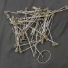
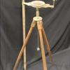
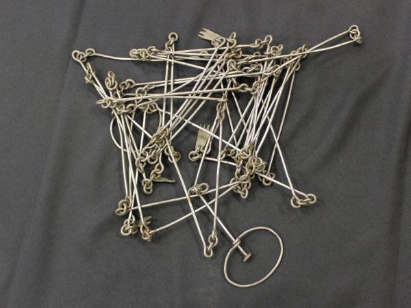
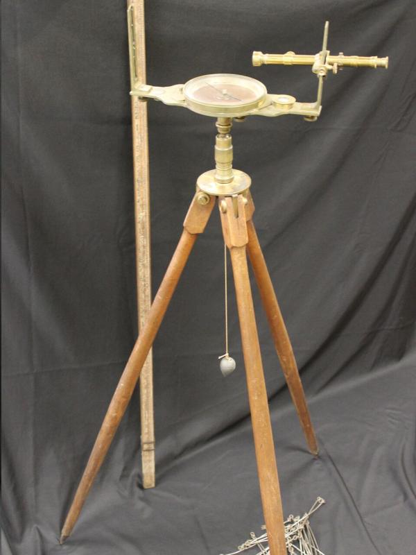
Charles Mullan, one of the earliest settlers of Waterloo, Iowa, used this surveyor's chain to map out the Waterloo area. Chains like this one measured 66 feet long and were made up of 100 different links. Surveyors used these chains to measure the distance between two different points and map out different parcels of land. A surveyors compass would be used with these chains to note the direction when mapping a location. A tripod stand allowed the compass to stand on its own making it easier to write without holding a compass.

Charles Mullan was born in Eckland, Pennslyvania in 1811 and came to Iowa in 1846 and settled in the area now known as Waterloo. At the time, only two other settlers, G.W. Hanna and William Virden, were residing in the town. Mullan served as the county's first justice of peace as well as the first county surveyor, where he mapped out the county's streets, boundaries and landmarks. Mullan and his family lived in Waterloo for 28 years, experiencing the expansion of railways through the state as well as the Civil War and the impact it had on the town.

These objects are from the collection of the Grout Museum District.

Lesson Supporting Question
Lesson Overview
Primary Sources Used
Chain, Surveyor's 2018.038.006
Compass, Surveyor's 2018.038.005
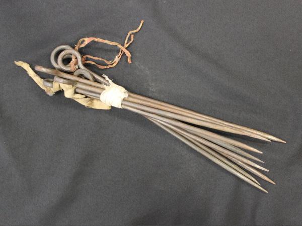
Stake, Survey 2018.038.007
Resources Needed
Standard
Lesson Target

Students will collaborate to measure the classroom/school hallway using their own handmade surveyors chain made from 100 paper clips.

Lesson Themes Workers
Lesson Procedure
StepProcedureTimeDifferentiation plan / Additional Information
HookAsk students if they know what an acre is. Let students turn to their partners to tell them what an acre is. Have a student who is willing to share, share with the class what they think an acre is. Tell them that an acre is how we break up land and sell it in Iowa today.  
Information

Explain to students how land in Iowa was surveyed in the 19th century. 

- Give details about the length of  chains they used. (66 feet long and were made up of 100 different links.

-Tell students about Charles Mullan. (One of the earliest settlers of Waterloo, Iowa. Used a surveyor to map out Waterloo)

  
Activity

First: Students will need directions:

-Students will need to be split into pairs (I will do this based on the needs of the class)

-Each set of pairs will need 100 paper clips

-Students with their partners will need to come together and link up each paper clip.

-Students will then be assigned an appropriate location in the school for them to survey.

- Students with behavioral needs will need to stay within or near the classroom.

-Students will each have a copy of the surveyor worksheet that they will be required to fill out and turn in with their partner.

Students will be split up with their partners to survey different parts of the school. The teacher should allow students at least half, if not the majority, of a 50 minute class period for the students to complete this portion of the lesson.

-The instructor should keep the pairs who may need reminders to stay on task close. 

When I have given all the time that can be allowed for the students to complete this activity, I will have them all come back to the classroom. 

-With their partners, students will stand up and each share where in the school they surveyed and their results. 

  
Conclusion

To conclude this lesson, students will submit an exit slip either on paper or via blackboard/schoology/etc.

Students will be required to answer the following questions for their exit slip.

-Do you think that surveying land with this tool was effective? Why or why not?

-What are some thoughts and concerns you have about how land was surrveyed using this method?

  
Assessment
Formative Assessment
(How will you use the formative assessments to monitor and inform instruction?)

Ask students if they know what an acre is., Let students turn to their partners to tell them what an acre is., Have a student who is willing to share, share with the class what they think an acre is.

Summative Assessment
(How does the lesson connect to planned summative assessment(s)?)

Students will be required to answer the following questions for their exit slip:
- Do you think that surveying land with this tool was effective? Why or why not?
- What are some thoughts and concerns you have about how land was surveyed using this method?
- What does it mean to own land? Does it seem arbitrary? Why or why not?
- Why do we let only a few people make these choices for us?

Author Information
Author Sidney Biondi Created Last Edited
Reviewer: Chad Christopher, History Education, University of Northern Iowa
Lesson Plan Development Notes: Teaching Methods, University of Northern Iowa, Spring 2019