Objects
Displaying 826 - 850 of 1096
| ObjectID | Object Description | |
|---|---|---|
| 2018.054.016 Separator, Cream |
Milking cows by hand and then separating was an example of a labor intensive task done by most every farm family. Children were involved in the milking, bringing the cows in from the pasture, making… Read More | 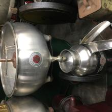
|
| 2018.054.017 Separator, Cream |
Milking cows by hand and then separating was an example of a labor intensive task done by most every farm family. Children were involved in the milking, bringing the cows in from the pasture, making… Read More | 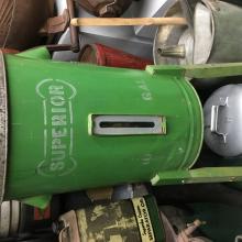
|
| 2018.054.018 Bottle |
Milking cows by hand and then separating was an example of a labor intensive task done by most every farm family. Children were involved in the milking, bringing the cows in from the pasture, making… Read More | 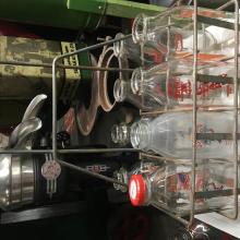
|
| 2018.054.019 Bag, Doctor's |
Country doctors treated illnesses such as tuberculosis, diphtheria, pneumonia, measles and scarlet fever. House calls were the rule because there were no hospitals in the county. Visits were made… Read More | 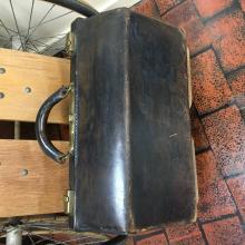
|
| 2018.054.020 Microscope |
Country doctors treated illnesses such as tuberculosis, diphtheria, pneumonia, measles and scarlet fever. House calls were the rule because there were no hospitals in the county. Visits were made… Read More | 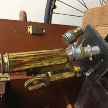
|
| 2018.054.021 Scale |
Country doctors treated illnesses such as tuberculosis, diphtheria, pneumonia, measles and scarlet fever. House calls were the rule because there were no hospitals in the county. Visits were made… Read More | 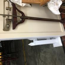
|
| 2018.054.022 Holder |
Almost all farms in Wright County had low wet spots that could not be used for farming until they were drained. Only the tops of the hills could be farmed. Farmers dug tile ditches by hand or hired… Read More | 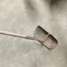
|
| 2018.054.023 Hook |
Almost all farms in Wright County had low wet spots that could not be used for farming until they were drained. Only the tops of the hills could be farmed. Farmers dug tile ditches by hand or hired… Read More | 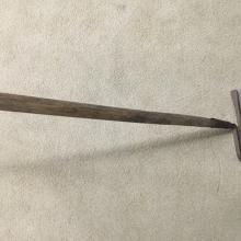
|
| 2018.054.024 Shovel |
Almost all farms in Wright County had low wet spots that could not be used for farming until they were drained. Only the tops of the hills could be farmed. Farmers dug tile ditches by hand or hired… Read More | 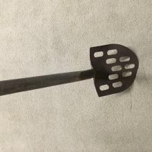
|
| 2018.054.025 Spade, Ditching |
Almost all farms in Wright County had low wet spots that could not be used for farming until they were drained. Only the tops of the hills could be farmed. Farmers dug tile ditches by hand or hired… Read More | 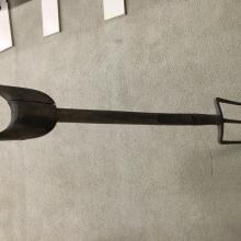
|
| 2018.054.026 Tile, Drain |
Almost all farms in Wright County had low wet spots that could not be used for farming until they were drained. Only the tops of the hills could be farmed. Farmers dug tile ditches by hand or hired… Read More | 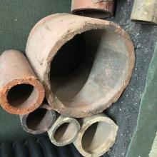
|
| 2018.054.027 Thresher |
Threshing is the process of removing the grain from the stalk while separating out the seeds. While the process was originally done by hand, the development of threshing machines in the mid-19th… Read More | 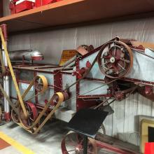
|
| 2018.054.028 Wagon |
When corn was harvested by hand, a triple box was the wagon used. A triple box has three twelve inch boards with an extra board on one side to stop and drop the thrown ear. The wagon was drawn by a… Read More | 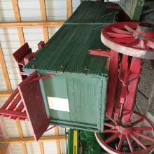
|
| 2018.056.001 Map |
One of eight large-scale pictorial maps of midwestern states showing routes and post offices of the Railway Mail Service. Designed by Chicago railway mail clerk Frank H. Galbraith to help employees… Read More | 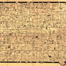
|
| 2018.056.002 Map |
Township and county map of the northern United States showing the Iowa & Missouri State Line Railroad and its connections, along with drainage, cities and towns, and the railroad network… Read More | 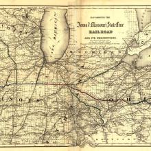
|
| 2018.056.003 Map |
Map of the midwestern states showing relief by hachures, drainage, cities and towns, township and county boundaries, and the completed, proposed, and under-construction railroads. Map also shows the… Read More | 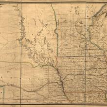
|
| 2018.056.004 Capitol |
Iowa state capitol in Des Moines, Iowa by photographer Arthur Rothstein. Content can be used with the following standards: 8th grade SS-Gov. 8.25 Iowa Government in a lesson on Iowa's state capitol… Read More | 
|
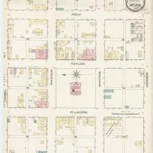
| 2018.056.005 Map |
Sanborn Fire Insurance Map from Mount Ayr, Ringgold County, Iowa. Content can be used with the following standards: SS-Gov. 9-12.28 Iowa Issues and Policies in a lesson on safety standards and… Read More |
|
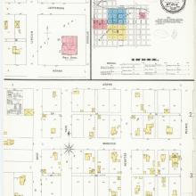
| 2018.056.006 Map |
Sanborn Fire Insurance Map from Mount Ayr, Ringgold County, Iowa. Content can be used with the following standards: SS-Gov. 9-12.28 Iowa Issues and Policies in a lesson on safety standards and… Read More |
|
| 2018.056.007 Bridge, Railroad |
3/4 VIEW FROM NORTHWEST - Chicago & Northwestern Railroad Viaduct, Spanning Des Moines River at Chicago & Northwestern Railroad tracks, Boone, Boone County, IA. Content can be used with the… Read More | 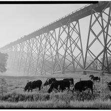
|
| 2018.056.009 Map |
Township and county map showing drainage, cities and towns. Railroads are distinguished by color and name. Content can be used with the following standards: SS-Geo. 9-12.24 Iowans Influence Iowa… Read More | 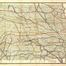
|
| 2018.056.010 Map |
Map of Iowa exhibiting the townships, cities, villages post offices, railroads, common roads & other improvements. Content can be used with the following standards: SS-Geo. 9-12.24 Iowans… Read More | 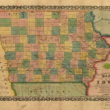
|
| 2018.056.011 Map |
1868 Bird's eye view of the city of Des Moines, Polk Co., Iowa. Content can be used with the following standards: SS-Geo. 9-12.24 Iowans Influence Iowa Environment in a lesson on the establishment… Read More | 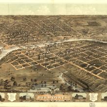
|
| 2018.056.012 Map |
Map of Linn County, Iowa. Content can be used with the following standards: SS-Geo. 9-12.24 Iowans Influence Iowa Environment in a lesson on the establishment and settlement of Iowan towns. For any… Read More | 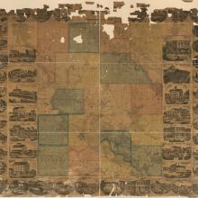
|
| 2018.056.013 Map |
Map of Black Hawk County, Iowa. Content can be used with the following standards: SS-Geo. 9-12.24 Iowans Influence Iowa Environment in a lesson on the establishment and settlement of Iowan towns. For… Read More | 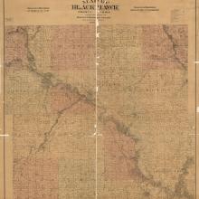
|
